 Indiana
Statehood: 11 Dec 1816 (19th)
|
|
|
Countries Home Page COUNTRY List Empires of the World LDS Temples USA State List Book of Mormon Map Duane's Art Duane's Gardens English Lessons Food Recipes G.I. Joe Room HTML Guide Language Identification LDS Material Site Map Web Page Tips |
 Click to view coin |
 Click to view flower |
|
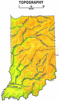
LINKS: Indiana Pictures Capital: Indianapolis View: Flag Nickname: Hoosier State Total Area: 36,418 square miles (94,323 square km) Cities: Fort Wayne; Gary; Indianapolis Religion: LDS Presence State Bird: Cardinal State Flower: Peony |
|

|
© Page Publisher: Duane R. Hurst
|

|