 Wales
Wales
Back to Previous Page
Languages: English; Welsh
| FLAG | COUNCIL AREA | CAPITAL | AREA | POPULATION |
|---|---|---|---|---|
| Click on FLAG to view a larger image. Click on NAME to view a Council Area image. (* = Council Area Pauline and I visited.) |
||||
 |
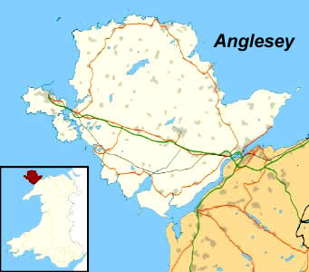
ANGLESEY | Llangefni | ||
 |
* BLAENAU GWENT | Elbow Vale | ||
 |
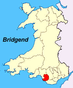
BRIDGEND | Bridgend | ||
 |
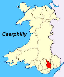
* CAERPHILLY | Penallta | ||
 |
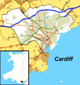
* CARDIFF | Cardiff City | ||
 |
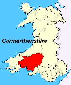
CARMARTHENSHIRE | Carmarthen | ||
 |
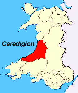
CEREDIGION | Aberaeron | ||
 |
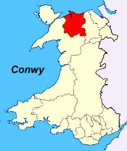
CONWY | Conwy | ||
 |
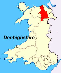
DENBIGHSHIRE | Ruthin | ||
 |
FLINTSHIRE | Mold | ||
 |
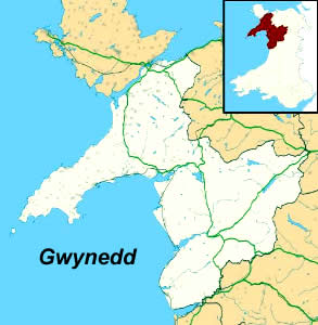
GWYNEDD | Caemarfon | ||
 |
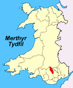
MERTHYR TYDFIL | Merthyr Tydfil | ||
 |
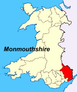
* MONMOUTHSHIRE | Usk | ||
 |
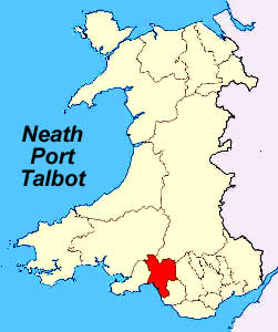
NEATH PORT TALBOT | Port Talbot | ||
 |
* NEWPORT | Newport City | ||
 |
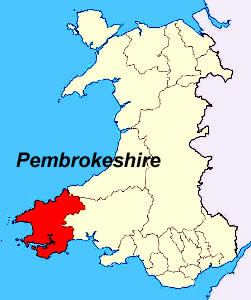
PEMBROKESHIRE | Haverfordwest | ||
 |
POWYS | Llandrindod Wells | ||
 |
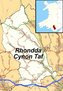
RHONDDA CYNON TAF | Clydach Vale | ||
|
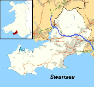
SWANSEA | Swansea | ||
|
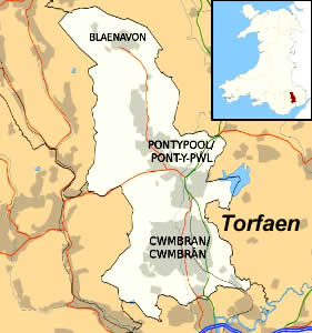
* TORFAEN | Pontypool | ||
 |
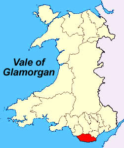
VALE OF GLAMORGAN | Barry | ||
|
WREXHAM | Wrexham | ||

|
© Page Publisher: Duane R. Hurst
|

|